MATLAB Code to Plot NMEA File on Google Maps

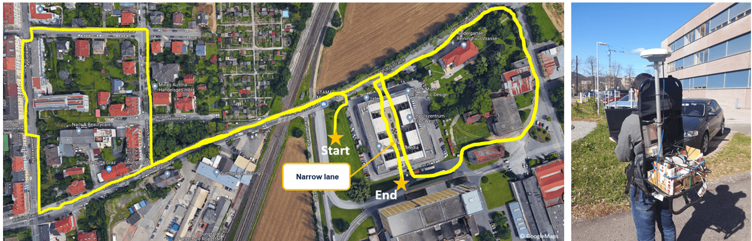
NMEA is an acronym for the National Marine Electronics Association. NMEA is a standard data format supported by all GNSS manufacturers, much like ASCII is the standard for digital computer characters in the computer world.

This package contains a MATLAB code to decode an NMEA file and the position of the receiver (i.e., $GPGGA and $GPVTG) on Google Maps.

 19,99 incl. VAT

Includes 20% VAT
Delivery Time: no delivery time (e.g. download)

Related Products

Do you have a question about IGASPIN products and services?

Get all the answers you need. Send us your message now:

Request a custom scenario

If your preferred scenario is not found, don't hesitate to contact us for assistance.

Your data

Information about your desired scenario

Additional information

Shopping Basket