In today’s world, the Global Navigation Satellite System (GNSS) is still increasingly utilized by critical infrastructure providers for various purposes. These applications range from ensuring precise time synchronization for financial transactions and supporting telecommunication networks to powering essential systems, aiding aviation, and serving organizations like the military. Previous research efforts, such as TACTIC and Be-Aware, demonstrated the alarming vulnerability of GNSS receivers to interference, specifically jamming and spoofing attacks. These attacks have emerged as significant threats.
Critical infrastructure in threat
These findings provided the impetus for the inception of the GIREKO project. Currently, there are still a limited number of monitoring stations worldwide dedicated to detecting unintentional or deliberate GNSS interference. Ideally, such data should be gathered comprehensively to provide necessary information to GNSS users. Existing methods for interference detection either involve expensive solutions (costing several thousand euros but highly reliable) or rely on crowdsourcing through Android smartphones (reliable due to increased user participation).
Cost-effective solutions
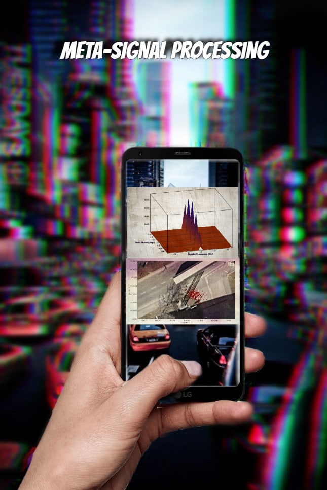
Within the scope of the GIREKO project a cost-effective interference detection and characterization technology based on Software-Defined Radio (SDR) was developed. This technology comprises both hardware and software components, merging the advantages of high-cost solutions (reliability and interference characterization capabilities) with the affordability of low-cost alternatives. Our research focused on identifying suitable sensors and data recording methods to minimize hardware costs for interference sensor nodes. Furthermore, we employed innovative artificial intelligence approaches for interference detection and characterization. The detected interference events are visualized on a GNSS interference map for Austria, providing the means to alert GNSS users and critical infrastructure providers when necessary.
Interference events on a map
Additionally, the project delved into the efficient warning process. To effectively disseminate information about interference events, we engaged in discussions with stakeholders to assess the extent of their knowledge about GNSS interference and explore the implementation of an advanced warning concept that benefits all parties involved. We gathered this information through interviews and practical exercises, assessing the advantages and environmental conditions of a warning system in a practical context.